|
<div style='text-align:center'><a href='https://f5wx.com/radar/'>
<img src='https://f5wx.com/radar/live/radar_desert.gif' alt='F5Weather Radar'> <p>Live radar from F5Weather</a></div> |

Image automatically reloads every 2 minutes. Go to radar home
|
Current Lowest Level Reflectivity (normal radar) Last 24hr Radar Estimated Rainfall Yesterdays's Radar Estimated Rainfall |
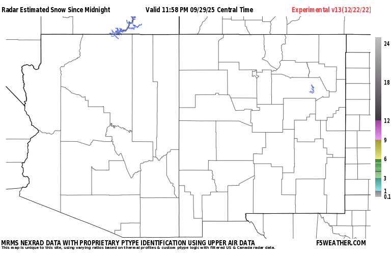
Today's Radar Estimated Snowfall Yesterday's Radar Estimated Snowfall |
|
Our radar depiction utilizes the NSSL's MRMS system. NOAA's National Severe
Storms Laboratory created the Multi-Radar/Multi-Sensor System (MRMS) to
produce severe weather, transportation and precipitation products to
improve decision-making capability for warnings, forecasts and numerical
weather prediction. MRMS integrates multiple data streams from multiple
radars into one seamless national product. MRMS combines WSR-88D (NEXRAD),
Canadian, Mexican, Carribean, Terminal Doppler Weather Radars (TDWRs) and
commercial radar networks for greatest coverage and redundancy. Among the many
quality-control features of MRMS is removing ground clutter and other non-precipitation
anomalies. We further modify this data by using our own proprietary methods for identifying preciptation-type and colorizing the radar to identify areas of mixed precipitation and snowfall along with their intensities. We also have highly experimental estimates of snowfall from this data as well as the MRMS output of precipitation accumulations. You are free to embed our radar graphics into your web site using the code at the top of this page. As you zoom in on our maps you get a new code for each view. We just ask that you keep a link and credit to F5Weather as a source for the graphics. |
Powered by w3.css